
Somers ZIP Service Areas
Westchester County's municipal health profile places nine ZIP codes in the Somers service area. That is useful coverage information, but it is not a survey of Town boundaries or a claim about every address. The profile marks some ZIPs as serving other regions as well. Use the table as a starting point, then let the Postal Service decide the current label for a particular address. A postal place and a Town location can both be correct at once.
| ZIP | Area or postal place to verify | Post-office lead | Somers coverage note |
|---|---|---|---|
| 10501 | Amawalk | Amawalk Post Office | Shared service geography; confirm the address with USPS. |
| 10505 | Baldwin Place | Postal Bulletin history / nearby branch | Postal label history does not change Town limits. |
| 10527 | Granite Springs | Granite Springs Post Office | Branch information is published by USPS; verify it live. |
| 10536 | Katonah | Nearby USPS office | Only a portion may serve Somers; the exact Town share was not located. |
| 10540 | Lincolndale | Lincolndale Post Office | Postal label appears on the official planning map. |
| 10578 | Purdys | USPS address lookup | May cross Town service geography; the exact Somers share was not located. |
| 10587 | Shenorock | Shenorock Post Office | Check current services and hours on USPS. |
| 10589 | Somers | Somers Post Office | Main civic mailing label; confirm the current USPS result. |
| 10598 | Yorktown Heights | USPS address lookup | Only a portion may serve Somers; the exact Town share was not located. |
The table reflects service-area geography, not a complete resident roll. It also avoids treating an owner mailing address, an old deed label, or a returned postal label as proof that a person currently lives at the property.
Somers ZIP Postal Labels
Somers is a town with hamlets and lake communities, while USPS assigns delivery labels. The County planning map names Amawalk, Baldwin Place, Granite Springs, Lincolndale, Shenorock, the Library, Town Hall, lakes, and nearby places. Those labels help explain why a municipal address may use Amawalk, Katonah, Lincolndale, or Yorktown Heights in its mailing line. They do not redraw the municipal boundary.
USPS ZIP Code Lookup is the live authority for the mailing city, state, and ZIP returned for a specific address. The captured form is shown here only to illustrate an address-verification step, not to identify people or create a directory of addresses.
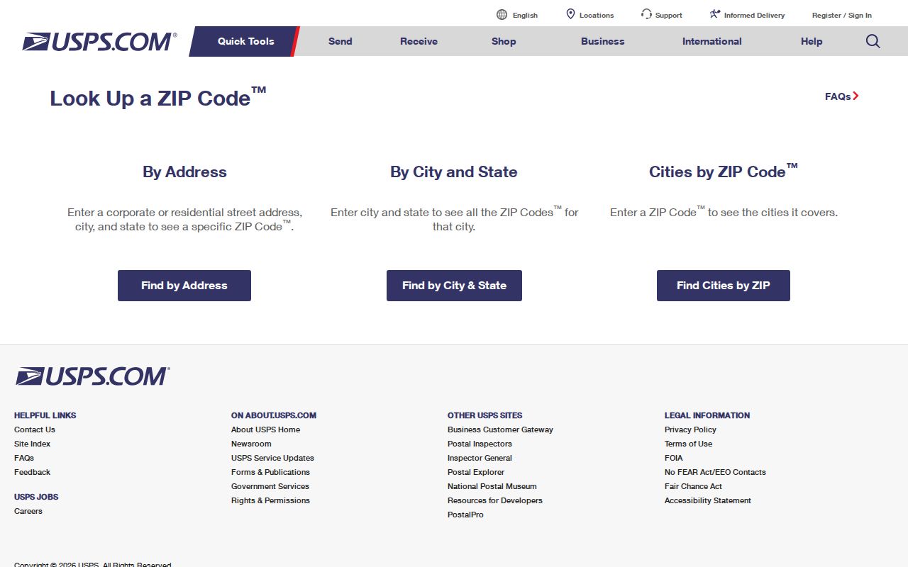
Record the USPS result and access date beside the municipal location. That small distinction prevents a postal label from replacing a confirmed Town of Somers location in a property or history search.
Note: USPS labels and branch details can change, so confirm a live address result before relying on a mailing line.
Somers ZIP Parcel Fields
The Westchester GIS Somers parcel layer includes the field PROPZIP. When that field is populated, a map query can filter or group parcel records by ZIP. The same layer has address, parcel, classification, school, geometry, and municipal fields. It is a practical geography tool, not a verified resident directory.
Use parcel identifiers to bridge formats. SBL is the section-block-lot identifier used in property work; PRINTKEY and related SWIS fields are additional map-service identifiers. A modern street address may not appear in an older legal description, which can instead use a subdivision lot, metes-and-bounds, a farm name, or an adjoining-owner description.
| GIS field | How it helps a ZIP search | Limit |
|---|---|---|
| PROPZIP | Filters or groups populated parcel records by ZIP. | It is a parcel attribute, not a complete list of residents. |
| PROPADDRESS / PROPCITY | Separates property location and place label. | Check USPS for the active mailing result. |
| SBL / PRINTKEY | Connects map parcels to local tax-map research. | Use the Assessor for authoritative local map questions. |
| OWNERNAME / OWNERADDRESS | Identifies public record fields that may be displayed. | Neither field proves current occupancy. |
County GIS says municipal data and update schedules vary. The Somers Assessor and local tax maps remain the authority for tax-map purposes.
Somers ZIP Search Fields
Only two ZIP-related search designs were documented for local use. The GIS service exposes a parcel ZIP field and a broad query interface. New York's voter tool uses ZIP as one part of a person's own registration lookup. The research did not confirm a public WRO ZIP filter, and the Assessor page does not expose a full public search-form inventory. Avoid filling those gaps with assumptions.
| System | Field or control | Use | Access boundary |
|---|---|---|---|
| Westchester GIS, Somers layer 462 | PROPZIP; geometry; spatial relationship; result controls | Locate and compare mapped parcel geography. | Approximate county map data; local Assessor is authoritative. |
| NYS Voter Lookup | County, last name, first name, date of birth, ZIP | A voter checks their own registration or poll-site information. | Not a ZIP-wide or third-party resident search. |
| Westchester Records Online | Verified ZIP filter not located | Use deed/index modes only as actually available. | Images and reports require account/payment; online material is not automatically certified. |
A ZIP narrows geography. It does not link separate names, records, or addresses into an identity profile.
Search One Somers ZIP
For a location question, begin with the address rather than a name list. The goal is to determine which delivery label and mapped parcel geography apply, then move to the office that keeps the particular record. Once a ZIP has narrowed the area to a street, the Somers street directory has the fuller address-based record workflow.
- Enter the complete address in USPS ZIP Code Lookup and save the current mailing result with its access date.
- Open the Somers parcel layer, find the public parcel, and compare its property address, place field, and populated
PROPZIPvalue. - Use SBL or PRINTKEY when a tax-map, Assessor, deed, or historic-map question needs a stable parcel bridge.
- For a recorded instrument, use the County Clerk's WRO index and request certified material from the custodian when legal proof is needed.
Do not turn a ZIP-filtered map result into a list of households. The documented sources are useful for parcel and postal research, but they do not establish who currently occupies a location.
Somers Postal History
USPS Postal Bulletin material from 2015 records label and container changes involving Baldwin Place, Amawalk, and nearby ZIPs. A 2018 bulletin records a 10540 Amawalk label change toward Katonah/10536 and nearby adjustments. The published bulletin, including its effective date and old/new label relationship, is the source to quote when a specific historical mailing label matters.
These are postal routing and label changes. They are not evidence of a municipal move, a boundary annexation, or a Town-wide address conversion. No official source located a Somers street-renumbering year, an annexation-driven conversion, or a Town-wide grid rule. Older location work instead relies on road-name variants, parcel fields, legal descriptions, historic maps, and library or archive help.
Somers Postal Geography
A ZIP code is a delivery geography, while a Census ZIP Code Tabulation Area is a generalized statistical representation. Neither is the same thing as a Somers Town boundary, a subdivision boundary, or a neighborhood name. The municipal profile is especially careful here: its asterisks identify ZIPs that also serve other regions, and no public USPS polygon was located for the exact municipal intersection of every listed ZIP.
This is a geography issue with a human impact. Someone can accurately say they are from Somers while their mailing address carries a nearby postal place. Careful record research preserves both terms instead of correcting one into the other.
Note: A ZIP match supports delivery research, but it does not prove a person lives in Somers or at a specific address.
Somers Delivery Terms
Postal terms are easy to mix up. These definitions keep a Somers ZIP code directory focused on delivery geography and prevent a label from being mistaken for a municipal or personal record.
- ZIP Code
- A Postal Service delivery geography used with an address. It is not a Town-limit polygon.
- ZIP+4
- An added four-digit delivery detail that refines a mailing address. It does not identify a household for public-directory use.
- PO Box ZIP
- A ZIP associated with post-office box delivery. No such special category was established for the Somers service-area list in the research.
- Unique ZIP
- A ZIP assigned to a single organization or large receiver. The research did not identify one for Somers.
- Carrier route
- A Postal Service delivery grouping. It is not a neighborhood boundary or a roster of people.
Somers ZIP Safety Limits
Postal, parcel, and voter systems have different access rules. NYS Voter Lookup is self-service and requires county, name, date of birth, and ZIP; it is not a general search for everyone in a postal area. Election-data requests have an elections-purpose requirement, and confidential registrations are withheld. A missing name can be intentional protection rather than a bad search result.
The New York public registry search is shown only as an example of an official system with legal-use warnings and restricted scope. It is not a neighbor, postal, or resident-directory tool, and no status, result, or address is presented here.
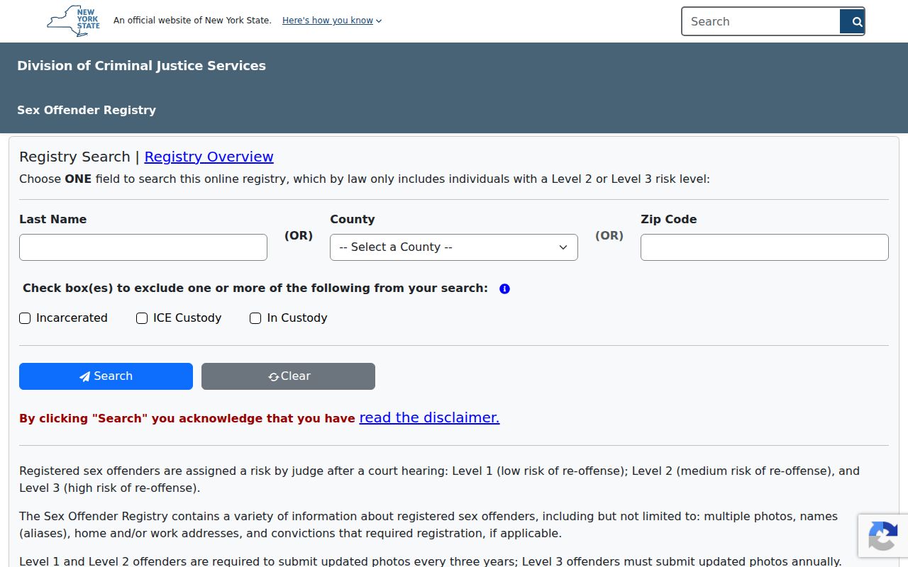
A postal label must never be used to amplify a sensitive registry or to create a ZIP-based directory of people. Use the agency's own access rules and official channels when a statute specifically governs a record.
Keep sensitive identifiers and private contact details out of ZIP research. Exact personal addresses, full dates of birth, protected locations, signatures, account information, and vital-record applications do not become appropriate to display because a government system is searchable. For record correction or certified proof, use the originating custodian.